methods + equipment
"No single method solves every pest problem. That's why we combine traditional culling with thermal imaging, night vision, and drone technology to get it done properly."
We match the method to the job.
There's no single method that works for every property. The right approach depends on the animal, the terrain, how established the population is, and what you're trying to protect — so we treat these four methods as a toolkit, not a fixed process, and scope each job around your land rather than a standard package.
-
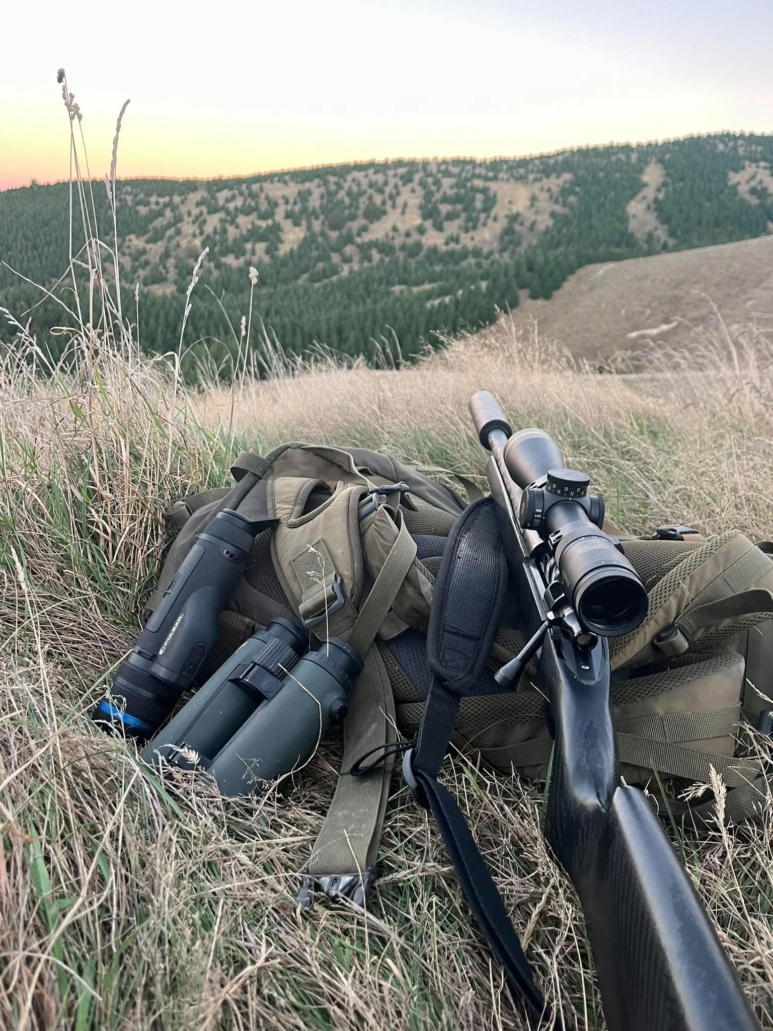
Ground-based culling is carried out by experienced operators working the land directly, whether that's a forestry block, open pasture, or steep hill country. It's the most direct and selective way to bring numbers down once we know where the pressure is, and it's often paired with thermal imaging and night vision for after-dark operations when animals are most active. For smaller or more accessible properties, ground culling on its own is often all that's needed.
-
For species like possums, where populations can re-establish quickly from neighbouring land, a controlled baiting programme is usually more effective at keeping numbers down long-term than culling alone. We plan bait placement around the block and monitor uptake over time, so you can see the programme is actually working rather than just assuming it is.
-
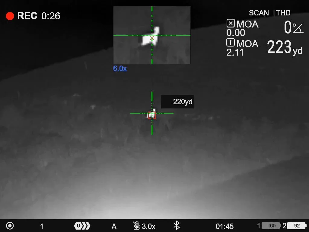
Most of the animals we control — deer, goats, pigs, possums, rabbits and hares — are most active from dusk through the night, when they're hardest to spot with the naked eye. Thermal imaging picks up animals by heat signature, including in dense cover or low light where a visual sighting from the ground isn't possible. It lets us confirm what's actually there — species, rough numbers, location — before committing to control, and it's a core part of most of our night operations, whether that's a ground cull or a drone flight.
-
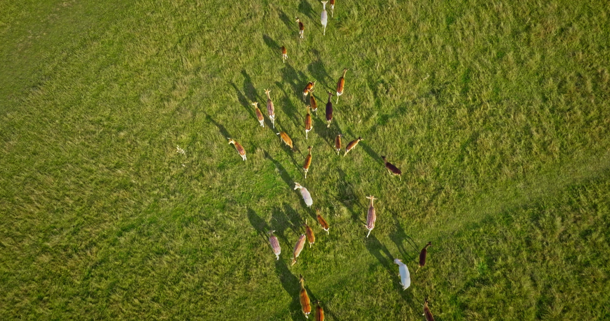
Drones let us cover large, steep, or otherwise hard-to-access blocks quickly, and — fitted with thermal cameras — fly at night to build an accurate picture of pest numbers, movement, and browse or ground damage across a property. We use drone surveys to scope a job properly before committing control effort, and again afterwards to check the work has had the intended effect.