Land & Forestry pest surveys
Before any control work begins, we assess what's actually on your land — pest species present, the extent of damage, and the areas under the most pressure. From there, we build a control plan matched to your goals, whether that's protecting forestry investment, maintaining farm production, or supporting conservation outcomes.
why we survey first?
Pest damage on forestry and rural land often builds up gradually and unevenly — heavier in some gullies or blocks than others, and not always obvious from a quick look on foot. A survey identifies where pressure is highest, roughly what species and numbers are involved, and how much of the block is affected, before any control work begins. It's just as useful after a control programme, to check numbers are actually down and damage isn't continuing in areas that were missed.
Surveys can stand alone — useful for budgeting, reporting, or simply understanding what's on your land — or feed directly into one of our control programmes.
Whats Invloved
-
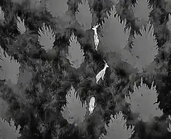
Drone surveying across the block to cover ground quickly, including steep or hard-to-access areas.
-
Detect and estimate numbers of nocturnal species accurately
-
Mapping where seedling loss, canopy thinning or ground disturbance is concentrated.